|
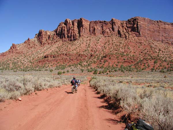
ATV Trails |
|
|
֍The Ultimate Off-Road Vacation
֍Best
Trails Best Lodging |
|
ATV Rentals |


|
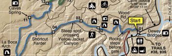
Thompson Canyon Trail La Sal Mountains Moab Utah |
||||||
Thompson Canyon Trail starts at the end of Onion Creek Trail. This picture show the trail as it leaves beautiful Fisher Valley
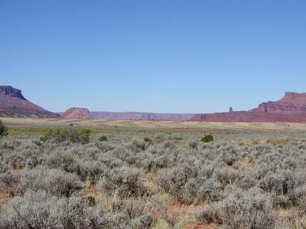
The View looking back towards Onion Creek Narrows. Fisher Mesa to the left, Fisher Towers the left center and Top of the World to the right.
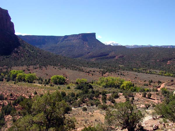
Polar Mesa and Hideout Canyon as seen from Trail. The trail climbs 1500 feet to the top of the mesa. The grade is not steep and can be managed by most riders.
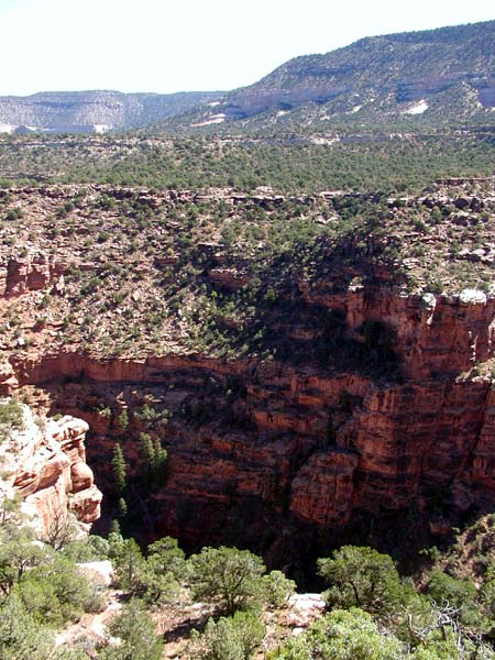
The trail follows the edge of Hideout Canyon closely in several places and there are several great places to stop and take in the view.
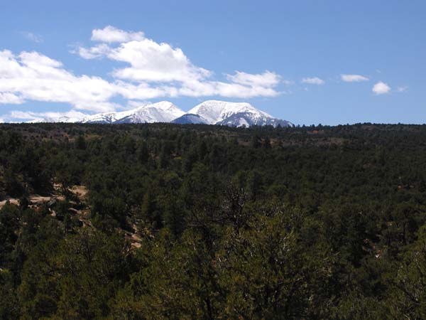
An awesome view of the La Sal Mountains as you near the highest point of the Trails. Notice the change in vegetation from the lower elevations. This is a refreshing trail to ride during the hot summer months.
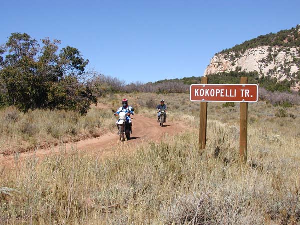
This sign for Kokopelli's Trail marks the end of the trail. Kokopelli's Trail is very popular with mountain bikes so be watchful of them as this is their trail just as much as it ours. |
||||||
|
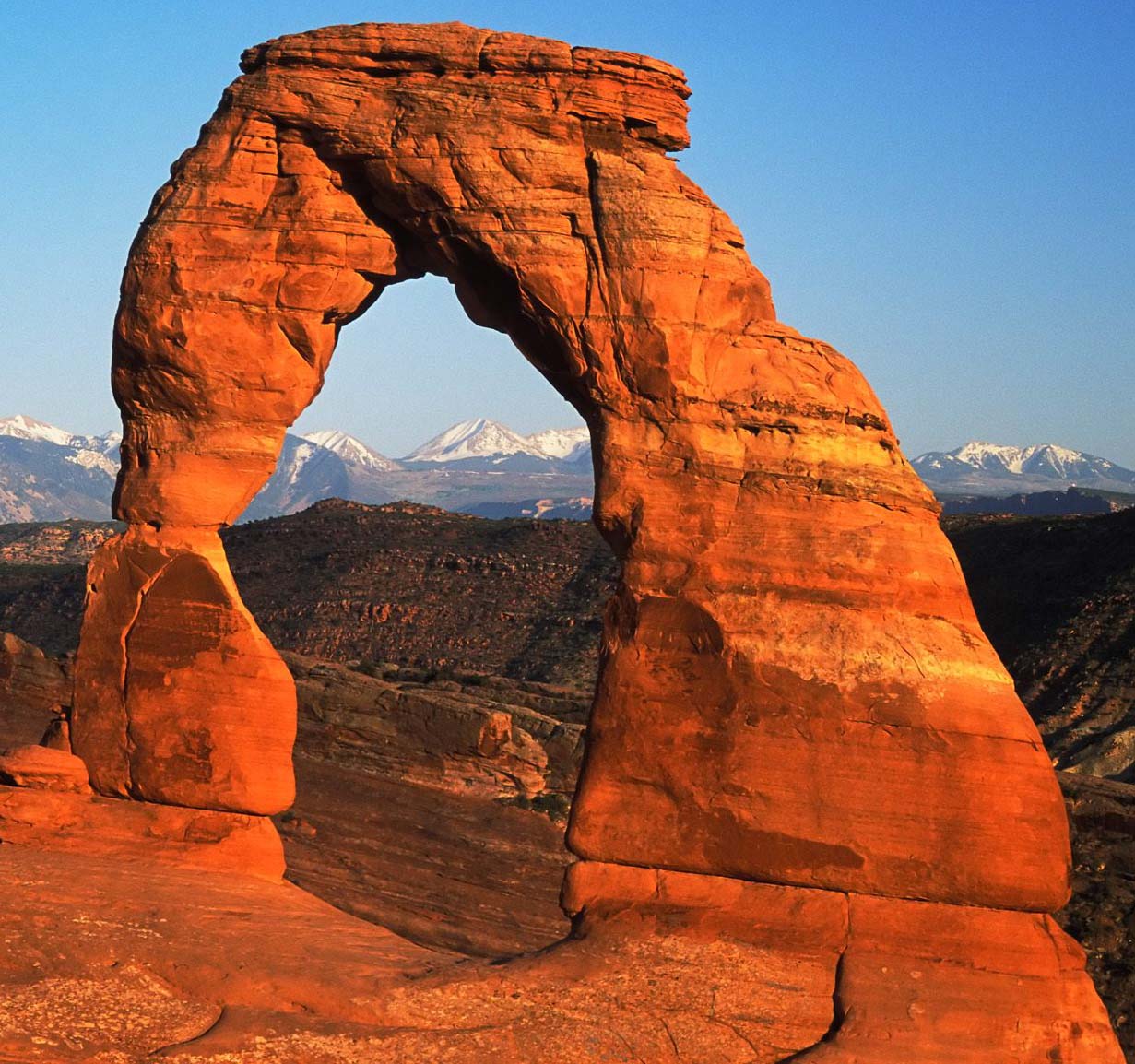
Next are the La Sal Mountains |
||||||

|
|
|
Moab Topo Maps
|
|
ATV Trails Guide
|
|
Moab, UT Backroads & 4-Wheel Dr Trails
|
|
|
Contact Me
Atvtrails.org
511 Tommy Lee Cook RD
Palmetto, GA 30268