|
ATV Trails |
|
|
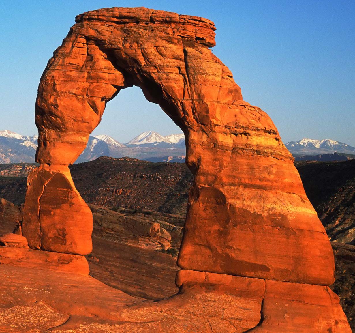
֍The Ultimate Off-Road Vacation
֍Best
Trails Best Lodging |
|
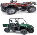
ATV Rentals |

|
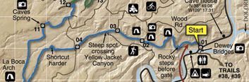
Chicken Corners Trail |
||
|
Chicken Corners Continues where Kane Creek Road crosses Hurrah Pass. This trail offers great views and is great trail for inexperienced ATV's or Dirt bikers. |
In the back ground is the start of Chicken Corners |
|
|
This trail offers great views of the Colorado River |
The views along the trail are outstanding. You get to see what Dead Horse Point and The Island in the Sky parks look like from below.. |
|
|
This the vehicle chicken corners. You are close to the edge but it isn't bad |
This is the true Chicken Corners. You have to have no fear of heights to make the corner. The trail is only a few inches wide a thousand feet above the river. |
|
|
|
|
|
|
Directions: From Hurrah pass continue on the road straight ahead. |
||


|
|
|
Moab Topo Maps
|
|
ATV Trails Guide
|
|
Moab, UT Backroads & 4-Wheel Dr Trails
|
|
|
Contact Me
Atvtrails.org
511 Tommy Lee Cook RD
Palmetto, GA 30268